↓ Skip to main content

OGC

Ground to stand on

Ground to stand on

·1117 words
Land degradation poses as high a risk as climate change to our species' survival. OGC's work in developing relevant data standards will improve the interoperability between the different tools and technologies used to monitor and report on it.

A strong foundation for GeoAI innovation

A strong foundation for GeoAI innovation

·1060 words
The challenges OGC is trying to overcome in using artificial intelligence in geospatial applications, in conversation with GeoAI Domain Working Group co-chair Kyoung-Sook Kim.
Geospatial foundations for space

Geospatial foundations for space

·964 words
Work is underway to free OGC standards and technologies from their terrestrial constraints, applying decades of geospatial expertise to the emerging challenges of space exploration and commercialisation.
The Metaverse is Geospatial

The Metaverse is Geospatial

·1570 words
The real world and the internet will merge thanks to the 'metaverse' – and geospatial information and technology will be key to that combination.
The UAV geofencing manifesto

The UAV geofencing manifesto

·1078 words
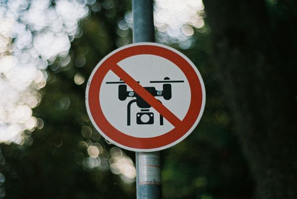
Geofencing standards to create 'no-fly zones' for UAVs – the latest developments and how the industry can get involved.
A change in the weather

A change in the weather

·1075 words
Advances in meteorology are opening up whole new markets and applications, but standards will be needed if the sector is to avoid siloing and errors.
Bringing it all together

Bringing it all together

·928 words
Combining IoT, 3D city models, indoor location, smart devices, dynamic routing and more, using only open standards and commercially available hardware, brings safety benefits for cities of all sizes.
Where technology meets community

Where technology meets community

·1017 words
Urban digital twins are already transforming cities, but R&D, standards and community involvement will all be needed to exploit their true potential.
An app store for Big Data

An app store for Big Data

·949 words
An OGC initiative to make using Big Data as easy as downloading an app from a store, bringing processing to the data rather than the other way around.
Lowering the barrier to entry

Lowering the barrier to entry

·983 words
The OGC's Data Access and Processing API will enable scientists and geospatial analysts to analyse data in a way mostly independent of its location, supporting the Open Science movement.
Tracking the tech trends of tomorrow

Tracking the tech trends of tomorrow

·998 words
The OGC's Tech Trends activity and the technologies set to transform geospatial in 2020 and beyond – from data science and UAVs to digital twins and the Web of Data.
A future of location data integration

A future of location data integration

·1050 words
OGC's community of location experts is collaborating on a new family of web developer-friendly APIs to support a future geared towards data integration and innovation.
A future filled with location

A future filled with location

·1146 words
How the Open Geospatial Consortium is developing ways to make location information FAIR – Findable, Accessible, Interoperable and Reusable.
A user-centric approach to data cubes

A user-centric approach to data cubes

·1072 words
A recent OGC workshop led to the development of a new definition of data cube and underscored the need for a user-centric approach.
Simplifying location data access and processing

Simplifying location data access and processing

·1095 words
OGC's Testbed-17 will investigate cloud-based processing apps, convenience Web APIs, semantic interoperability, and discrete global grid systems as a simplified location reference.